
General information
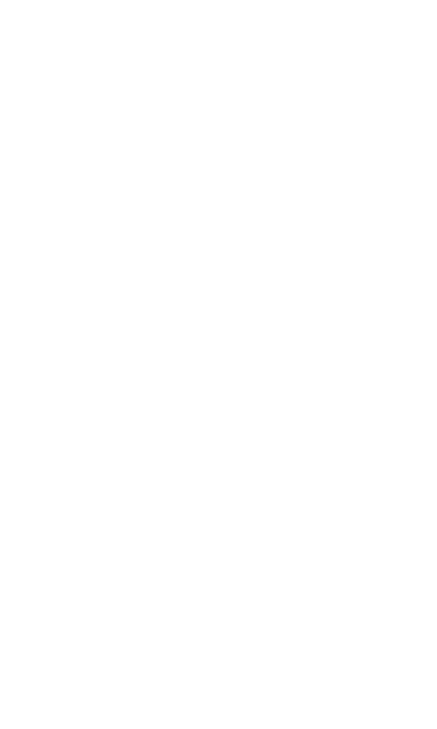
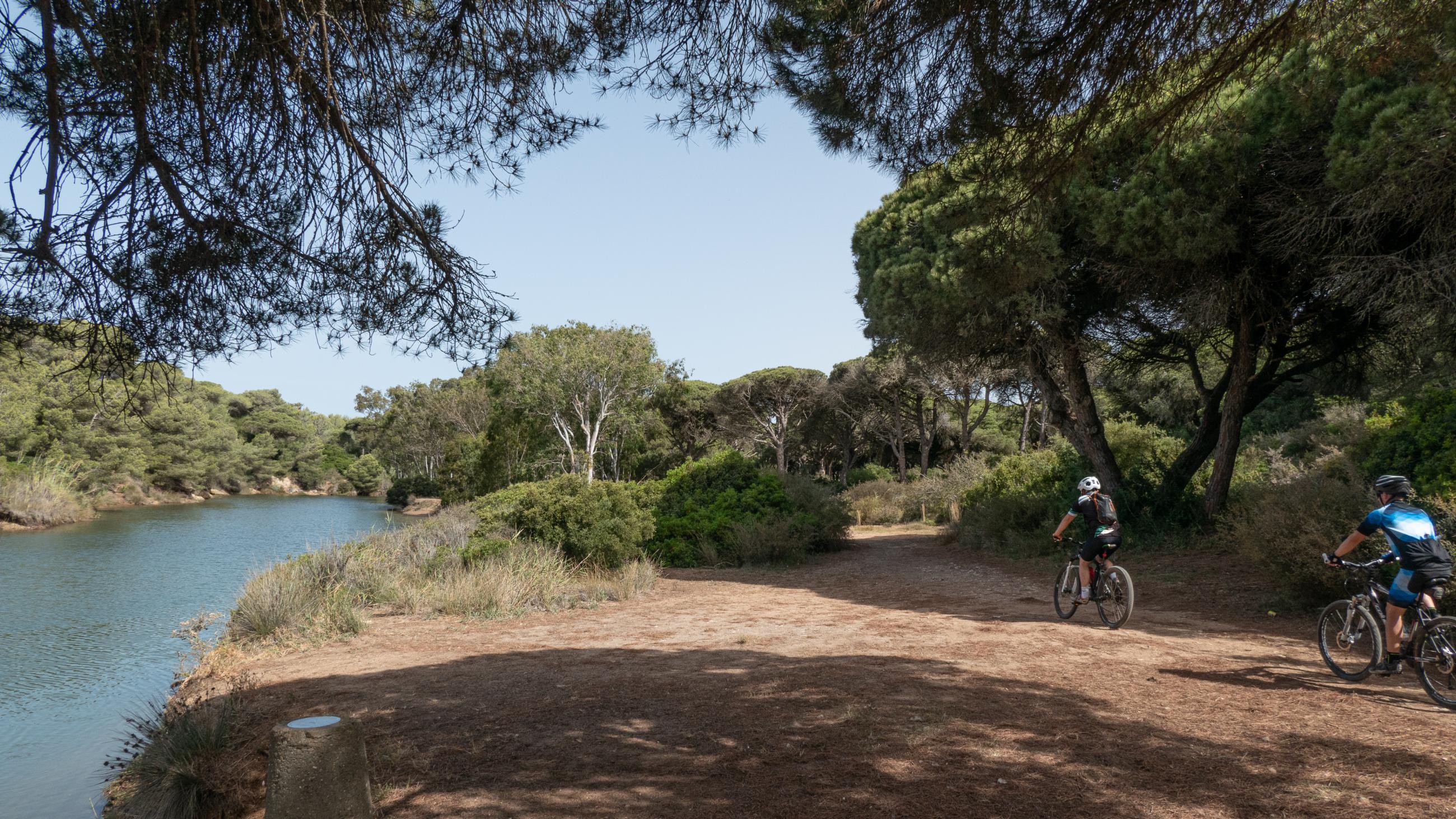
This linear route, of low difficulty thanks to its gentle slope, is approximately 1.6 kilometres long, which makes it ideal for families.
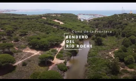
The area through which the route passes is included in the public mountain Dehesa de Roche, declared a Site of Community Importance (SCI) in 2006, integrated in the Natura 2000 Network.
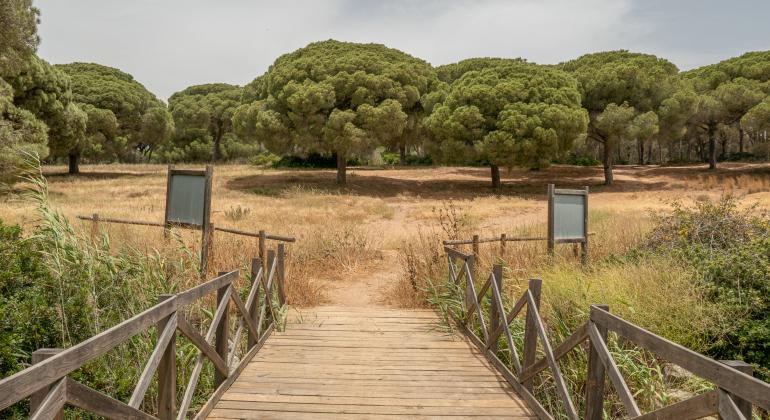
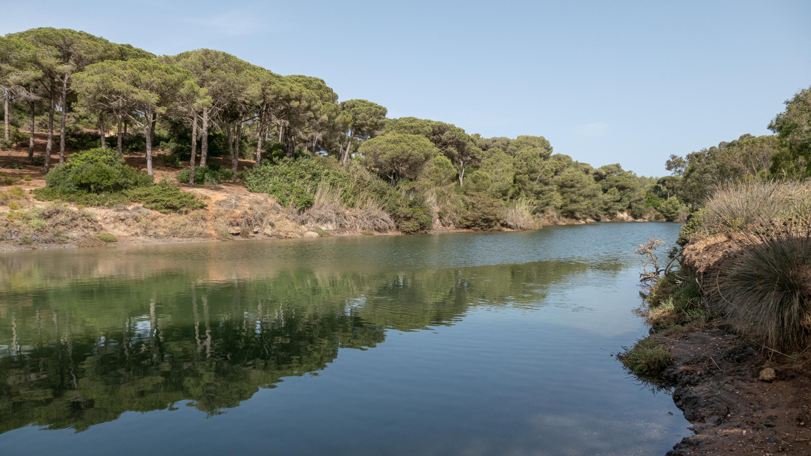
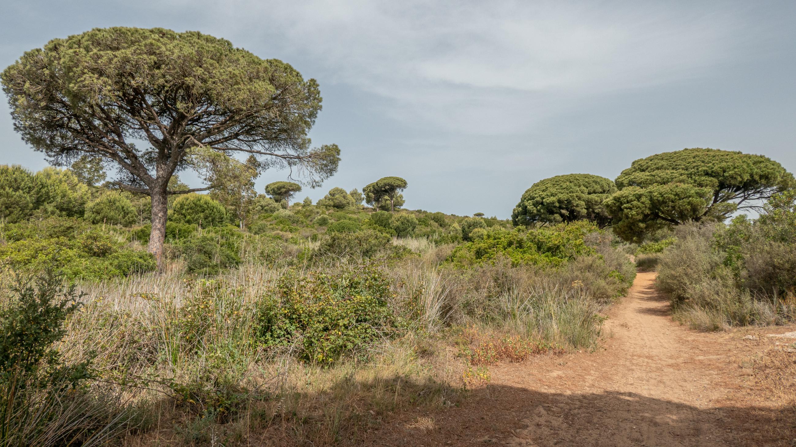
This path runs parallel to the Roche riverbed, connecting the Port of Conil with the Roche urbanisation. The existing vegetation in the areas closest to the river corresponds to riverside species such as mastic trees, ruscos, reeds, ferns and blackberries; surrounded by some cork oaks and wild olive trees and the predominant stone pine in the pine forest. As for the fauna, we can find different reptiles and among the aquatic animals we can highlight the presence of the Fartet, a small fish catalogued as being in danger of extinction.
The trail begins near the Port of Conil. It can be reached from the Roche urbanisation or from Conil de la Frontera on the CA-4202. At the port, take the road towards Conil and after passing the bridge turn left onto the first road where the route begins.
Add new comment